Geoplus.ini |
|
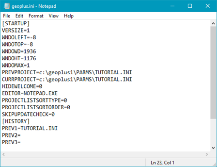
Geoplus.ini stores user-specific data like window sizes, and the previous projects opened. For standalone installations, this file will be in the installation directory. For client\server installations, geoplus.INI will be in the client directory.
STARTUPThe Startup section modifies how Petra first loads up. Most users will never need to change the variables in this section.
Example[STARTUP]
VERSIZE=1
WNDOLEFT=1763
WNDOTOP=158
WNDOWD=1344
WNDOHT=675
WNDOMAX=0
PREVVER=3.6.0
PREVPROJECT=C:\geoplus1\PARMS\MEXICO.INI
CURRPROJECT=C:\geoplus1\PARMS\MEXICO.INI
HIDEWELCOME=0
PROJECTLISTSORTTYPE=0
PROJECTLISTSORTORDER=0
EDITOR=NOTEPAD.EXE
SKIPUPDATECHECK=0
WMSThe WMS section stores the URL, username, password, and layer of the last WMS server accessed in the Map Module. This makes it easier for the user to reconnect to the last server they were using. For servers that dont need authentication, the user and password remains blank. Example[WMS]
URL=http://gaia.inegi.org.mx/NLB/mdm5.wms
USER=
PASSWORD=
LAYERLIST=SATELLITE
PLOTThe Plot section controls if the date stamp is displayed at the bottom of maps and cross-sections. Example[PLOT]
HIDEDATESTAMP=0
|