Units tab |
|
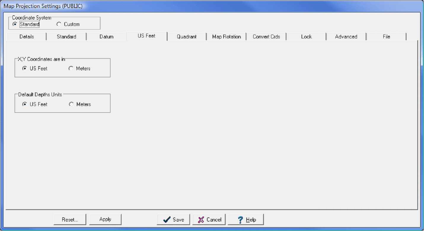
The Units tab sets the units of measurement (US Feet or Meters) for the entire projects. The XY (or map) coordinates and the depth units are independent of each other.
The Map Projection Datum tab XY coordinates are in - This option sets whether the scales and distances in the Main, Map and CrossSection Modules (between wellbores) are displayed in meters or in US feet. Default Depth Units - This option sets the depths on the CrossSection Module and Main Module (depths on the FmTops tab) as US feet or meters.
|