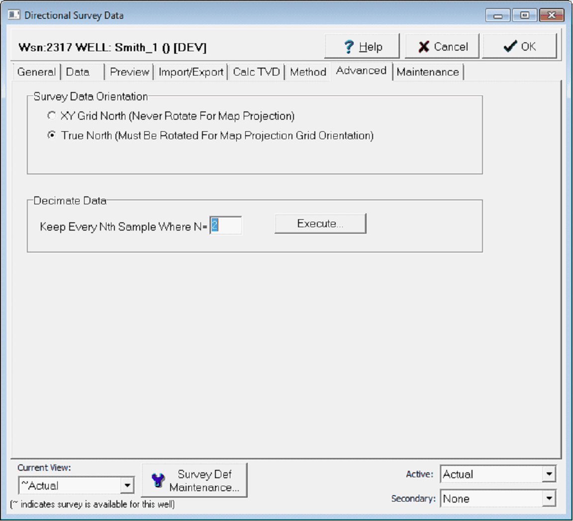
Directional Advanced tab |
|
The advanced screen sets a couple of options for correcting for the convergence angle and for reducing the number of survey data points.
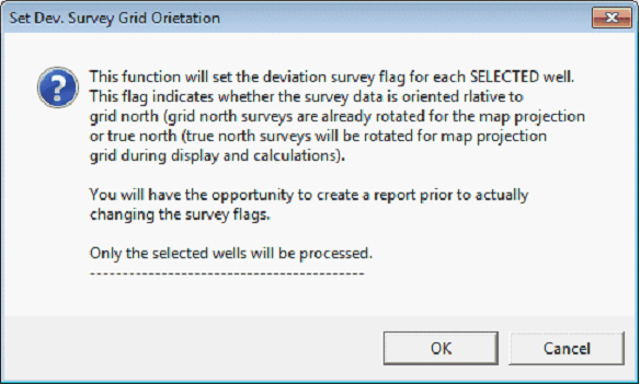
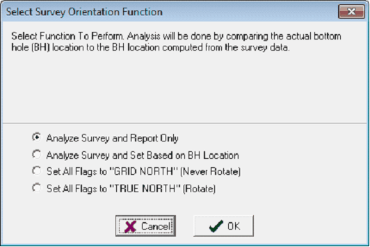
The Directional Survey Data's Advanced tab Survey Data OrientationThis section of the Advanced tab sets the convergence angle correction for the selected well. Projecting the curved surface of the earth onto a flat computer screen inherently produces some distortion for all maps. Particularly in areas far from the central meridian of the selected map projection, the lines of longitude running north-south become angled a common illustration is angled north-south section lines. While True North is at the top of the map (or screen), Grid North is at a slight angle due to this distortion. The angle between true and grid north is called the "convergence angle." Its important to plot directional wells relative to grid north, rather than true north; the BHL of a directional well plotted relative to true north can be hundreds of feet away from its true location. When the survey is oriented toward True North (lat-lon), then the survey path displayed on the map must be rotated to align with other features on the map that have been converted from lat-lon to xy using a map projection. There is no standard for directional surveys; azimuth survey data is reported both relative to true north and to a grid north. When theres doubt about a convergence angle settings, the Main Module's Analyze Survey tool (Compute>from Locations>Set Dev. Survey Grid Orientation) can shed light on whether a convergence angle should or should not be applied. Essentially, Petra calculates a BH location for the survey data both with and without a convergence correction. These two BH locations can then be compared with the actual header-supplied BH location. Based on this comparison, Petra can recommend whether an individual well should or should not have a convergence correction. Petra can either simply make a report, or can change the wells in the project automatically.
The "Set Dev. Survey Grid Orientation" Tool on the Main Module Decimate DataThis option erases survey data points by a user selected factor. More specifically, this option keeps every Nth data points and erases the rest As an example, the default 2 will keep only every other data point. |