Overlay Shape File Import and Direct Connect Grid & Culture Import
Overlay>Import Shape Files function allows ESRI shape files to be imported and colorized using predefined templates. The primary purpose of this option is a "Direct Connect" download and import of IHS grid and culture data. Of course, you will need the appropriate licensing to access this data (contact your local IHS sales rep for details).
This function can also be used to load any shape files copied to the "Shapes" folder of your project.

Customers with Direct Connect access and entitlements to IHS Grid and Culture data can use a new method to retrieve and import shape file data into the Petra Map Overlay. Users may also copy custom shape files into the Shapes folder of the project for direct import into the overlay. Map menu Overlay->Import Shape File.
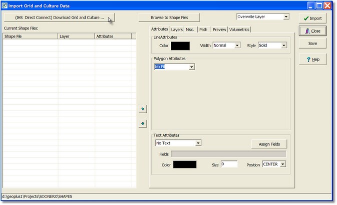
Import Grid and Culture Data upon entry all shape files contained in the current project Shapes folder will be displayed in the Current Shape Files list box. Custom shape files may be copied into the Shapes folder manually or selected and copied using the Browse to Shape Files button.
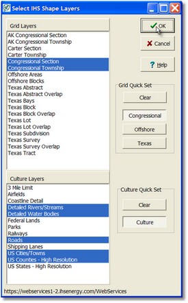
Click the (IHS Direct Connect) Download Grid and Culture button to view the layers that are available from IHS Direct Connect. Note that the user must have entitlements to this data and that not all geographic areas have all possible shape layers.
Select the appropriate Quick Set button for rapid selection of the most common shape layers. Other layers may be selected as desired. Click OK to download the layers from IHS Direct Connect.
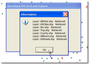
Upon retrieval of the shape files an information dialog will show the shape files that were available and downloaded.
The shape files are now shown in the Import dialog with default attributes. These attributes may be customized as desired by the user.
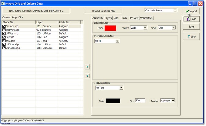
Shape File Import
Attributes tab
User selection of import line attributes, fill attributes, and text attributes of the selected shape file. Text attributes are applied to the data extracted from the shape DB file fields. The text is made by concatenating the fields specified by the Assign Fields dialog that is shown on the Fields edit box.
Layers tab
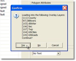
Set the overlay layer for each shape file to be imported. More than one shape file may be imported into the same overlay layer. The buttons at the top assign the selected shape file or files to the layer or layers.
Misc. tab
Set Lat/Lon extents for the Direct Connect shape file request
Path
Set the desired shape file path if other than the project Shapes folder.
Preview
Shows a preview of selected shape file using the extents of the shape file
Volumetrics
Sets a shape DB field value for associated polygon. Can be used for later Map volumetrics calculations.
Press Import button to import the checked shape files into the overlay. The attributes and settings are saved as part of the import process. Note that only the checked shape files are imported into the overlay.

|