Map Rotation tab |
|
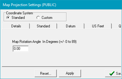
If for aesthetic reasons you want to have straight section lines, it's possible to rotate the entire map projection. This process changes the map projection, and consequently the XY coordinates of all the data inside that project. It's important to note that the XY coordinates of data inside a rotated project will not be compatible with XYs of a project using the same but non-rotated projection. In other words, the XY positions of data inside a rotated Colorado North (NAD27) state plane project will not match other non-rotated Colorado North (NAD27) state plane maps. This can cause difficulty in giving XY locations to drillers, for example.
|