Map View |
|
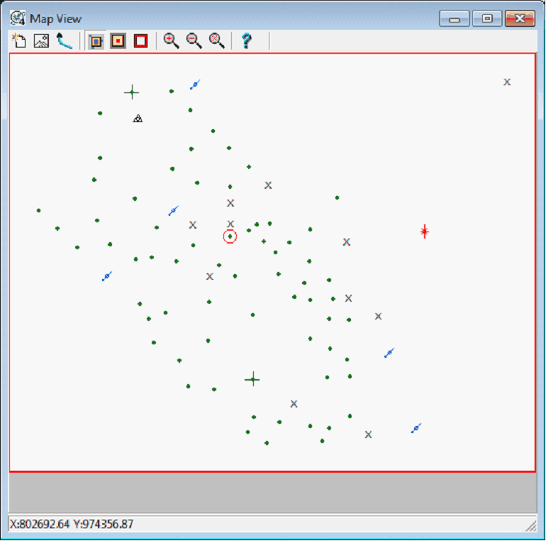
The Map View displays an aerial view of the area selected in the 3DViz Module. This tool can select wells and highlight wells, and change the limits on the 3DVIz Module. To open the Map View:
Selecting and Highlighting WellsTo select a well, simply click it on its location in the Map View. Doubleclicking a single well will take you directly to it in the Main Module. To select multiple wells, hold down the CTRL key and select multiple wells.
Changing the AreaThe Map View tool can change the extents on the 3DVIz Module. The red lines on the edges of the map display the 3DViz Module's current extents. Selecting and dragging the lines to the desired location changes the limits on the module. |
|||||||||||||||||
 button on the menu bar at the top of the screen