|
Plan
|
Launches Planning a Well wizard
|
|
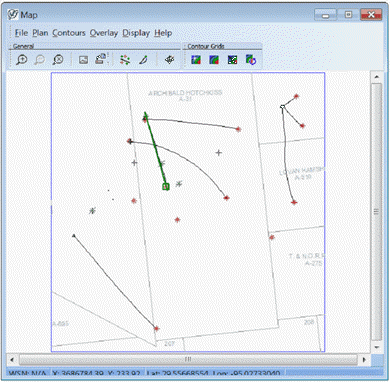
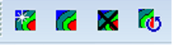
Contours
|
Same options as the Map View Toolbar Contour buttons
|
|
Overlay
|
You can then select any saved overlay created in the Map Module. To make edits to your overlays, use the overlay editing and management functionality in the Map Module.
|
|
Display
|
Display options include:
- Enable / disable the Profile View outline
- Show Secondary Surveys - Petra can store multiple directional surveys in the project database. This is commonly used for proposed well plans and actual directional surveys. When this option is enabled, both primary and secondary directional surveys are displayed on the map.
When this option is disabled, the Map View will only show "active" surveys.
Data Border Gap
|
 on the Directional Well Module's toolbar.